
The Historic Santa Fe Trail
For 59 years, the Santa Fe Trail was one thread in a web of international trade routes, influencing economies as far away as New York, London, and Mexico.
Spanning 900 miles of the Great Plains between Missouri and Santa Fe, New Mexico, it brought together a cultural mosaic of people. Along the route traveled traders, emigrants, adventurers, hunters, American Indians, reporters, and more.
Before 1821, Spain prohibited access or international trade within its New Mexico colony. As a result, the people of the colony were denied manufactured goods and supplies. In 1821, the people revolted against Spanish rule, gained independence, and opened the colony up to trade via the Santa Fe Trail. As a result, trade within the city of Santa Fe boomed, ultimately strengthening the economies of Missouri and Mexico’s northern provinces.
Movies and books often romanticize Santa Fe Trail treks as sagas of constant peril, but in truth, trail travelers mostly experience dust and other natural discomforts like mosquitos, strong winds, and long days.
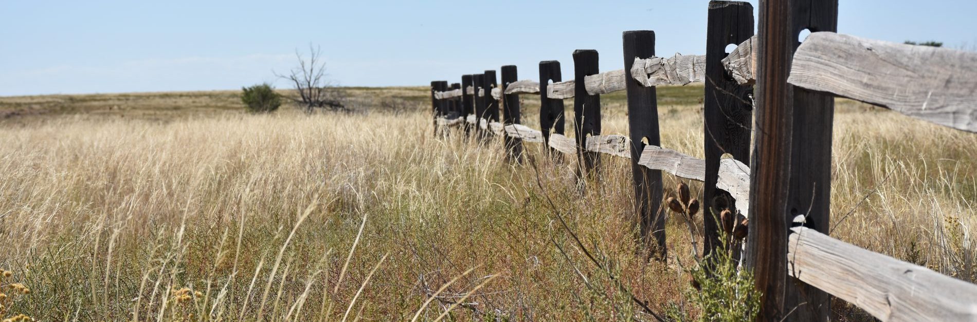
These long days of travel through the seemingly endless expanses of grass prairie made travelers feel as though they crossed a green ocean. However, as empty as the grasslands might have looked, they were long-held homelands and hunting grounds to many American Indian tribes, tribes forever changed as trade along the route grew.
Most early encounters on the trail between travelers and American Indians were peaceful. However, as traffic increased, so did confrontation from misunderstandings and conflicting values. Eventually, as more settlers moved west and the railroad laid more tracks, the American Indians were forced onto reservations.
When the Mexican-American War erupted in 1846, a succession of military forts was built along the trail and ultimately used by the army to control conflict between the American Indians and trail travelers. Today, many of these forts still stand and are open for visitors, including Bent’s Old Fort, just 50 miles west of Lamar.
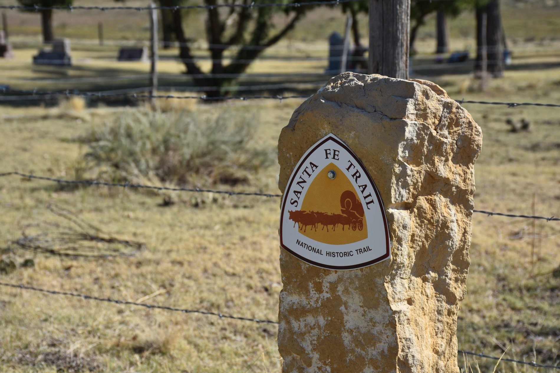
Want to stand on the Santa Fe Trail? There are seven Santa Fe Trail Markers in Prowers County:
Kansas/Colorado Line
Located on the north side of US 50 highway at the Kansas/Colorado State lines.
Holly Ranch House
This marker is located southeast of Town. The marker was first located at Holly Warm Springs, an Indian Campsite and was later moved to the Santa Fe Depot in the town of Holly, Colorado.
Amity
At the entrance to Amity Mill and Farm Office at Road 30.5 in the ditch to the east of this entrance is the location of a DAR Marker.
North of Granada
At the junction of US 50 and US 385 proceed 2.5 miles north, the marker is on the east side of US 385 highway.
North of Carlton
Proceed west of Granada, Colorado on US 50 highway to Road 19, then go north on this road 1.9 miles to the location of the marker on the east side of the road.
North of Morse
Proceed .3 mile north on Road 19 to Colorado Highway 196, then west six miles to Road 13. The marker is on the west side of Road 13.
Lamar
At Big Timbers Museum next to the 9-11 Memorial.